
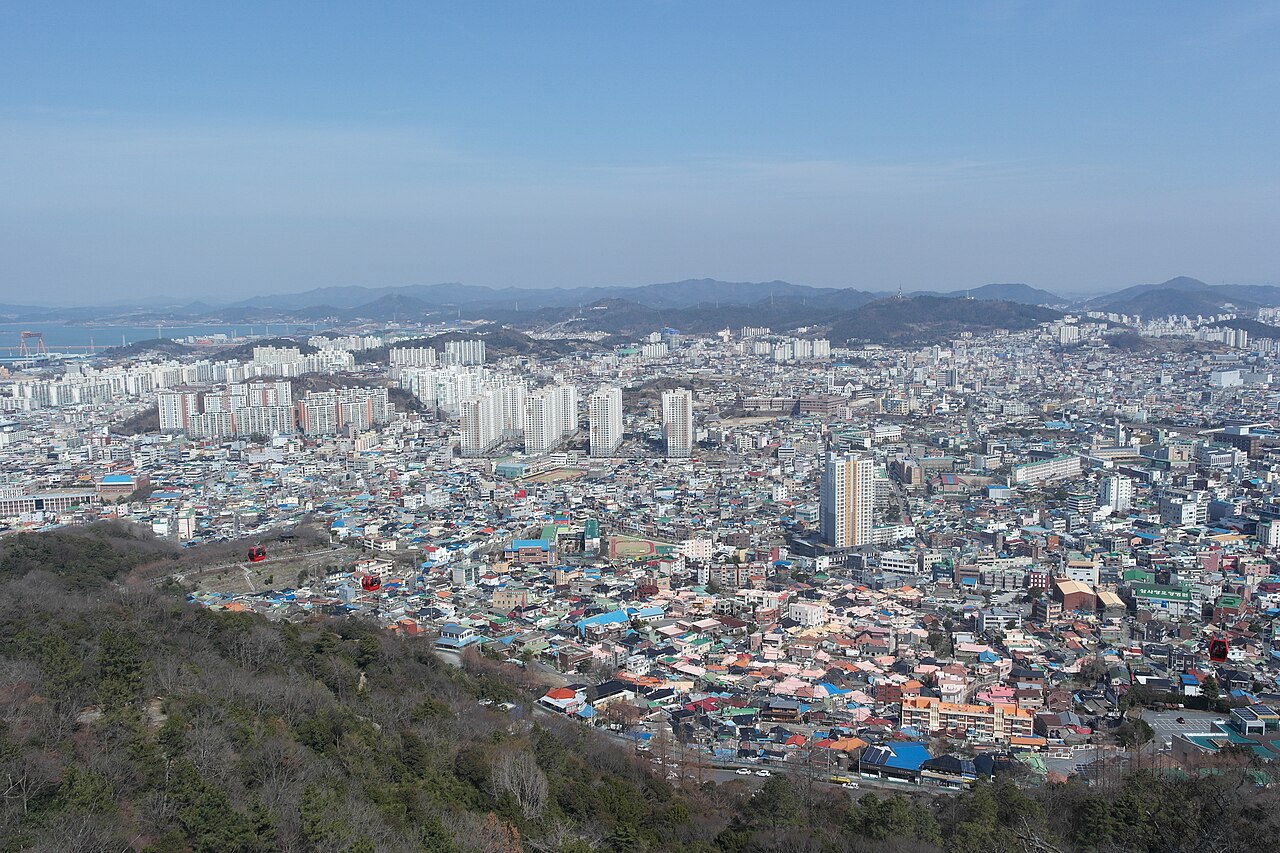
From Mokpo’s old town up Yudalsan to Nojeokbong
Yudalsan, a 228.3-metre peak on the edge of Mokpo’s old town, offers a walk from Nojeokbong up past pavilions to a rocky ridge, with the city’s rooftops in view the whole way.
Photographs of Yudalsan show more than the peak: closely packed roofs, streets and layers of buildings fill the ground below. The mountain and the city share one view. At street level the walk passes homes and workplaces; from above, they form the shape of Mokpo.
At 228.3 metres the mountain is not high, but this is not a flat park stroll. Exposed rock, uphill paths and pavilions set the pace. Mokpo’s first listed hiking course runs from the entrance past Dalseongak and Yuseongak to Madangbawi and Ildeungbawi.
Near the entrance, Nojeokbong carries a legend. The Mokpo Cultural Center recounts that Admiral Yi Sun-sin covered the rock with thatch to make it look like a great store of military grain. It is a local story attached to a landmark, not a verified battle record.
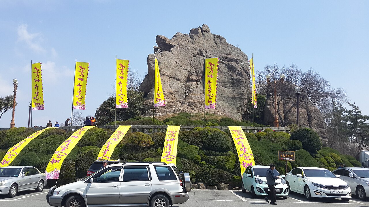
Mar del Este / Wikimedia Commons · CC BY-SA 4.0
Walkers can turn back at a pavilion depending on energy and daylight. The photographs were taken in different years and seasons; their foliage and festival decorations do not reflect current conditions.
Only Here
1. Roofscape beside a ridge. The city and its rocky mountain share one view, and the city looks different at each height.
2. A landmark with a local legend. Nojeokbong’s grain-store story attaches local memory to the rock.
3. Pauses built into the ascent. The route through Dalseongak and Yuseongak alternates rock viewpoints with pavilion rest stops.
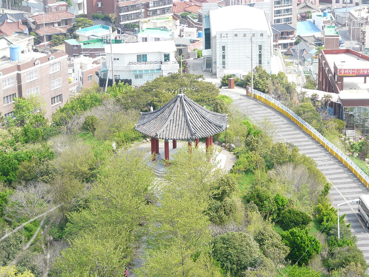
Piotrus / Wikimedia Commons · CC BY-SA 3.0
Best Time
A clear morning or early afternoon is best. The Korea Tourism Organization lists year-round, 24-hour access, but the route’s rock and steps make it a daytime walk, with enough light left for the descent. On wet surfaces, follow any on-site restrictions.
How Long
Mokpo lists the entrance→Dalseongak→Yuseongak→Madangbawi→Ildeungbawi course as 2 km and about 40 minutes. That figure excludes the return and rest stops. Allow 90–120 minutes including the walk back and pauses at viewpoints; some walkers will need longer. The approach from Mokpo Station is extra.
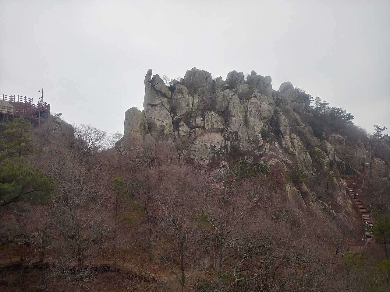
Brianjapan / Wikimedia Commons · CC0 1.0
Getting There
The Yudalsan entrance is within walking distance of Mokpo Station, about 20 minutes according to the city’s visitor guide. Nojeokbong is a convenient starting landmark. Visit Mokpo lists the hiking address as 45 Nojeokbong-gil, Mokpo-si (Cheukhudong). The two map links mark the mountain and Nojeokbong. The summit’s cadastral address is not a trail entrance.
Visit information
Yudalsan admission is free. Inquiries: +82-61-270-8359. Parking charges vary by lot and are posted on site. The route includes steps and rocky sections and is not step-free. Bring water and shoes with a secure grip.
PLACE INFO
LOCATION
NEARBY
Source visit.mokpo.go.kr Checked 2026.10.10 11:09
Sources & context
2026-10-13T10:32:58.466Z
biz.mokpo.go.kr ↗visit.mokpo.go.kr ↗Korea Tourism Organization ↗tour.mokpo.go.kr ↗mokpoculture.or.kr ↗Kakao Map ↗Kakao Map ↗An archival view of Mokpo from Yudalsan. The source description dates it to 27 February 2021. Reduced-size web rendition.